
MACEDONIA, GR

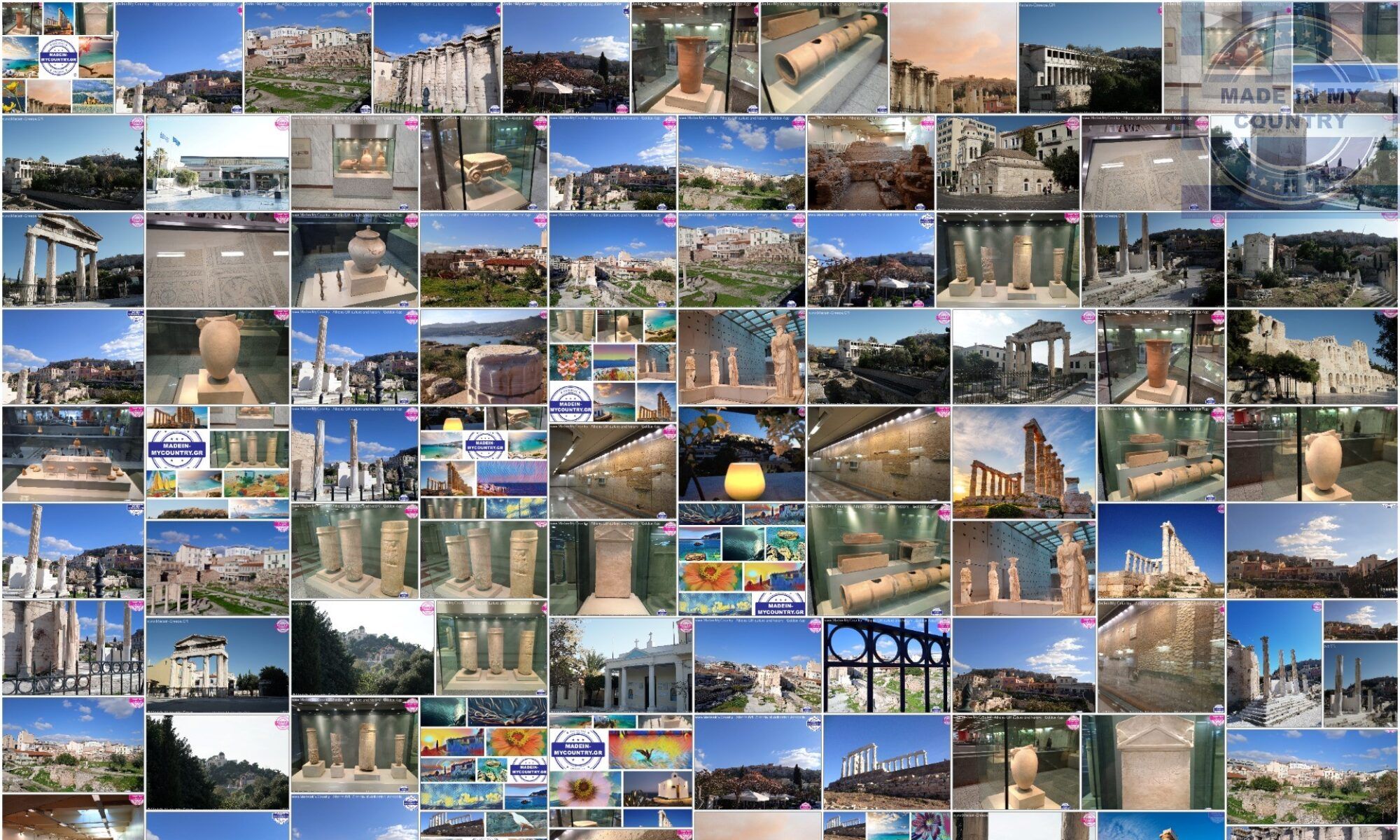
Macedonia Greek: Μακεδονία, Makedhonía is a geographic and administrative region of Greece, in the southern Balkans. Macedonia is the largest and second-most-populous Greek region, with a population of 2.38 million in 2017. The region is highly mountainous, with most major urban centers such as Thessaloniki and Kavala being concentrated on its southern coastline. Together with Thrace, and sometimes also Thessaly and Epirus, it part of Northern Greece. Greek Macedonia encompasses entirely the southern part of the region of Macedonia, making up 51% of the total area of the region. It also contains Mount Athos, an autonomous monastic region of Greece. Macedonia forms part of Greece’s national frontier with three countries: Bulgaria to the northeast, North Macedonia to the north, and Albania to the northwest.

Macedonia incorporates most of the territories of ancient Macedon, a kingdom ruled by the Argeads, whose most celebrated members were Alexander the Great and his father Philip II. The name Macedonia was later applied to a number of widely-differing administrative areas in the Roman and Byzantine empires, resulting in modern geographical Macedonia. Even prior to the establishment of the modern Greek state in 1830 Macedonia was identified as a Greek province, albeit without clearly defined geographical borders. Modern Macedonia was established in 1913, in the aftermath of the Treaty of Bucharest which ended the Balkan Wars. It continued as an administrative subdivision of Greece until the administrative reform of 1987, when it was divided into the regions of Western Macedonia, Central Macedonia, and part of the region of Eastern Macedonia and Thrace, the latter containing also the whole Greek part of the region of Thrace.
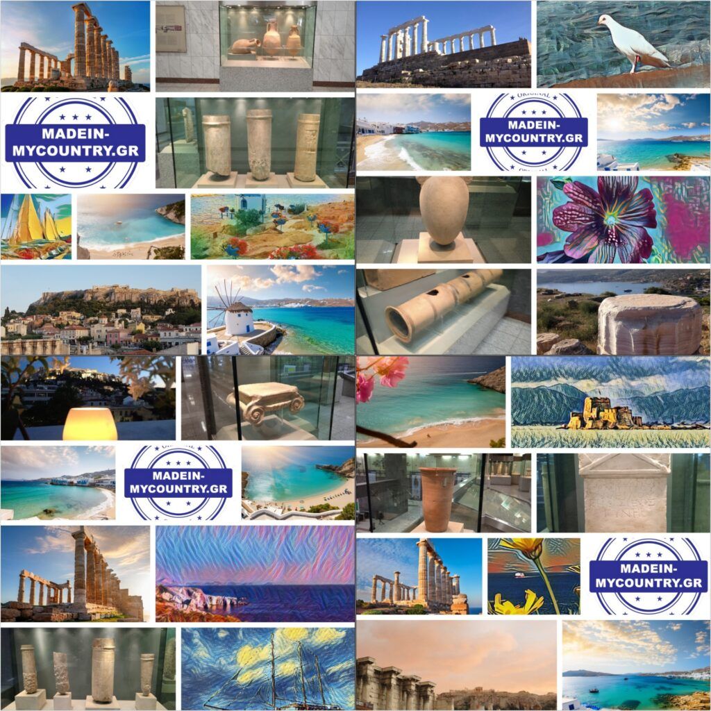
The region remains an important economic centre for Greece. Macedonia accounts for the majority of Greece’s agricultural production and is also a major contributor to the country’s industrial and tourism sectors. Central Macedonia is Greece’s fourth-most-popular tourist region and the most popular destination that is not an island. It is home to four UNESCO World Heritage sites, including Aigai, one of the ancient Macedonian capital cities. Pella, which replaced Aigai as the capital of Macedon in the fourth century BC, is also located in Greek Macedonia.
#Acropolis,#Athens,#GoldenAge,#Athena,#MadeinmycountryGR,#MadeinGreece,#Greece,#Hellas,#MacedoniaCenter,#ItisMadeinMycountry,#EvrosCenter,#ThraceCenter,#Saymadein2win,#MadeinMycountry,#MadeinEU,#BalkansCenter,#MadeinMycountryCY,#Greece,#Hellas,#Cyprus,#Culture,#GreekCulture,#GreekHeritage,#EU,#MadeinMacedonia,#MacedoniaGR,#Evros,#MacedoniaCenter,#MadeinCountry,#Madein,#BestofGreece,#Thessaloniki,#Thrace,#Macedonia,#Balkans,#Made,#Independent,#FeelthebestofGR,#AlexanderTheGreat,#Traditional,#FreeCyprus,#JusticeForCyprus,#Museum,#Local,#Historical,#Cultural,#Limassol,#Creta,#Mykonos,#Santorini,#Nature,#Aegean,#TourAegean,#TurAegean,#GreekAegean,#AegeanSea,#GreekIslands,#Constantinopolis,#Byzantium,#CradleOfCivilization